About This Work
Work in Progress (Many captions forthcoming)
This collection documents fieldwork in Michigan’s Upper Peninsula spanning over a decade. Earlier photos (2013-2017) were captured digitally during initial explorations of the region that informed my research interests. Formal dissertation fieldwork (2022-2024) focused on rural information ecosystems and was documented on film using a Nikon F2 with Kodak Ektar 100, supplemented by digital documentation with an iPhone for field notes and rapid capture.
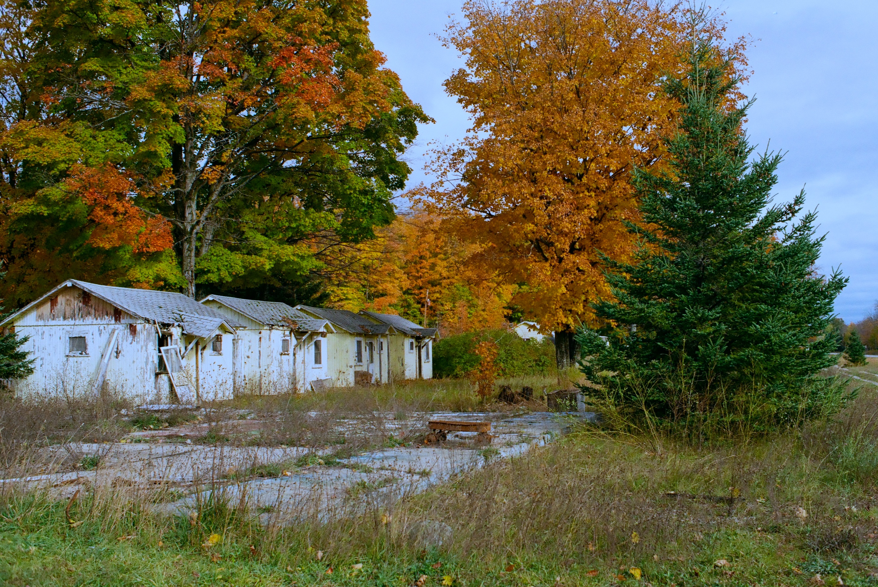
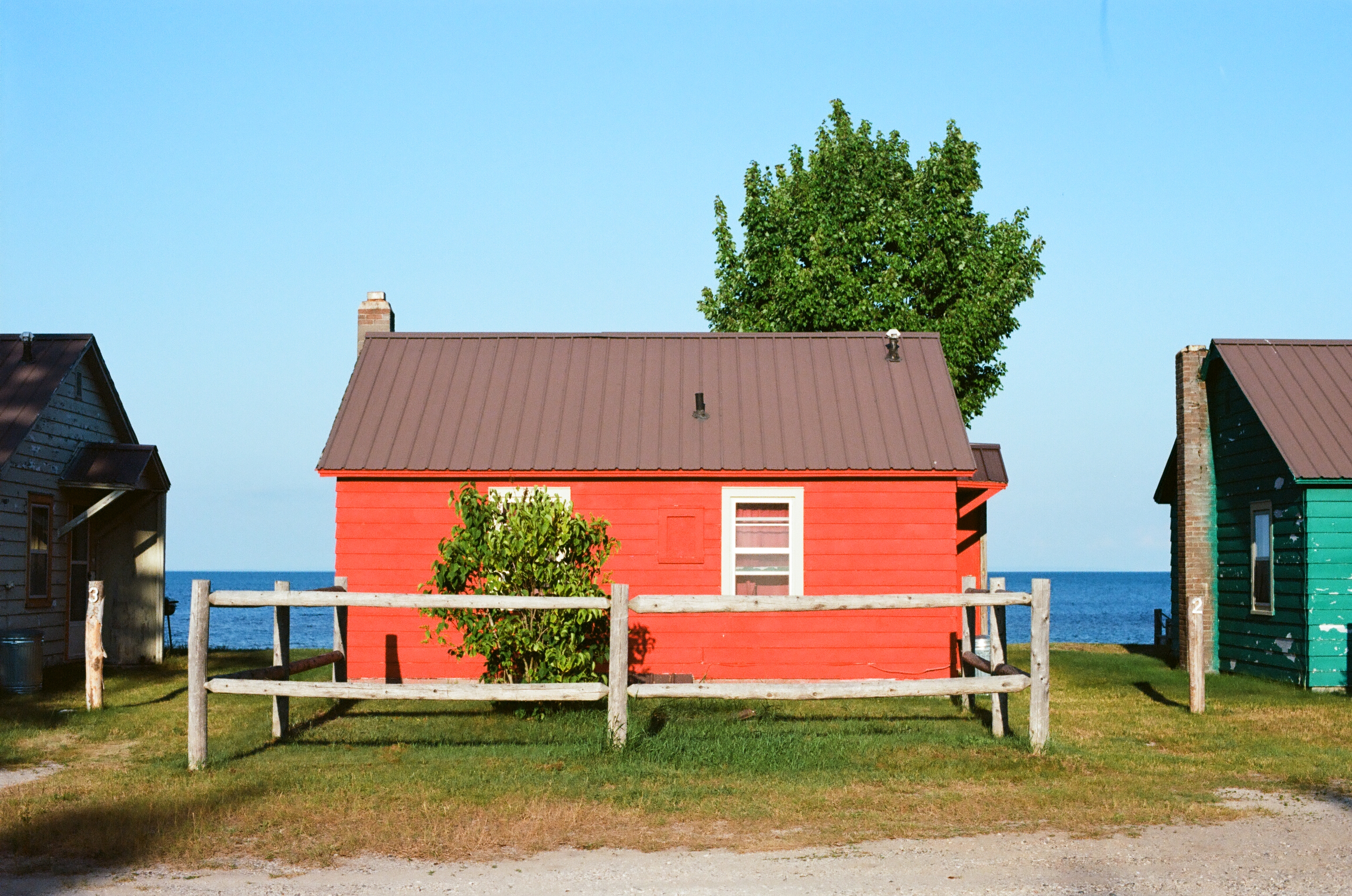
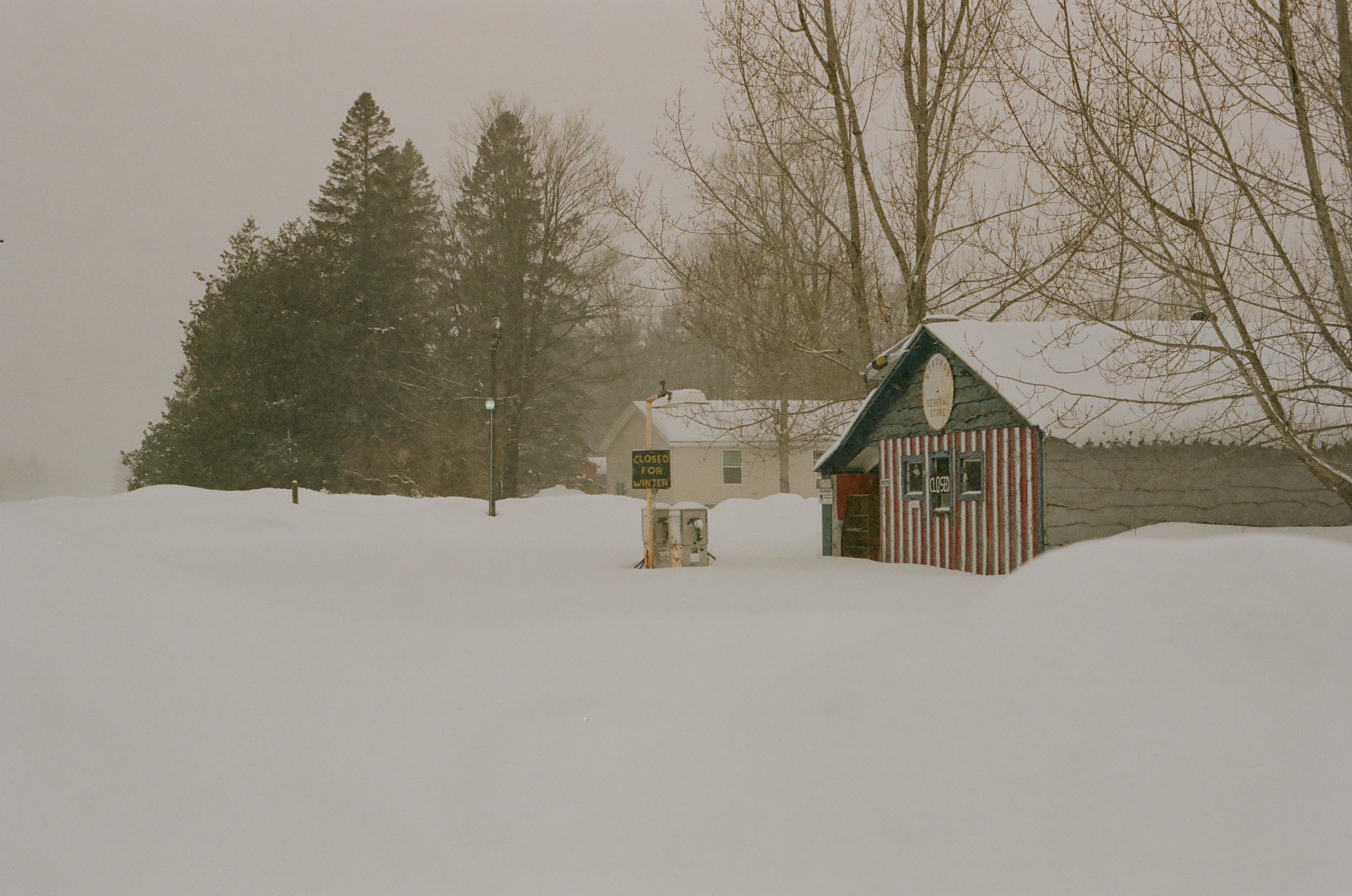
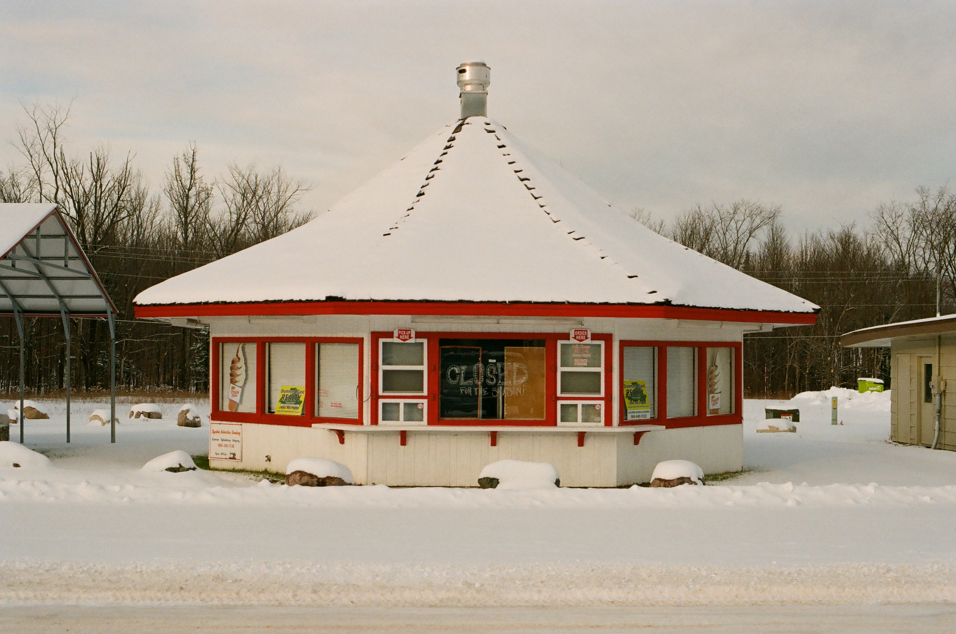
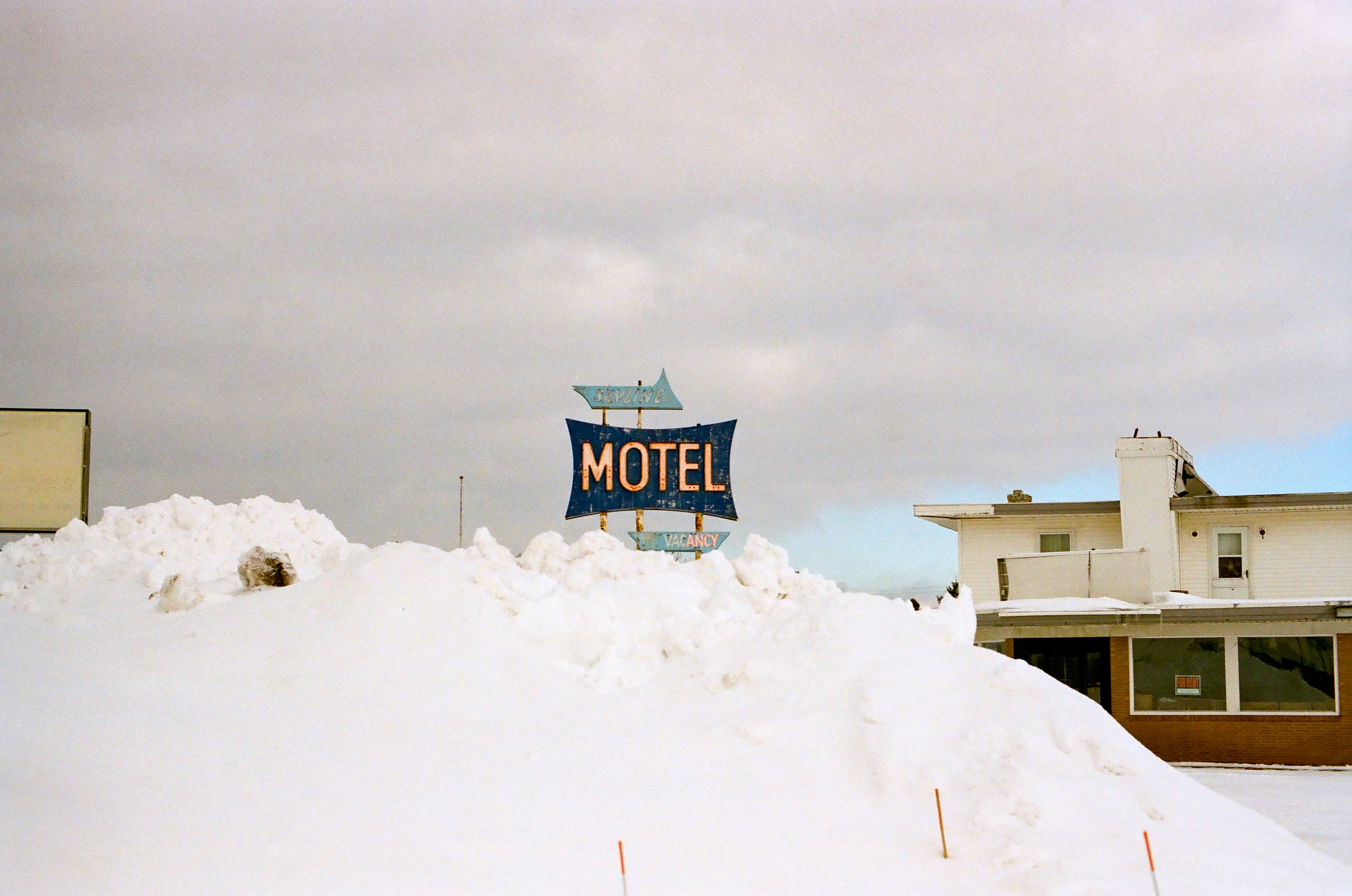
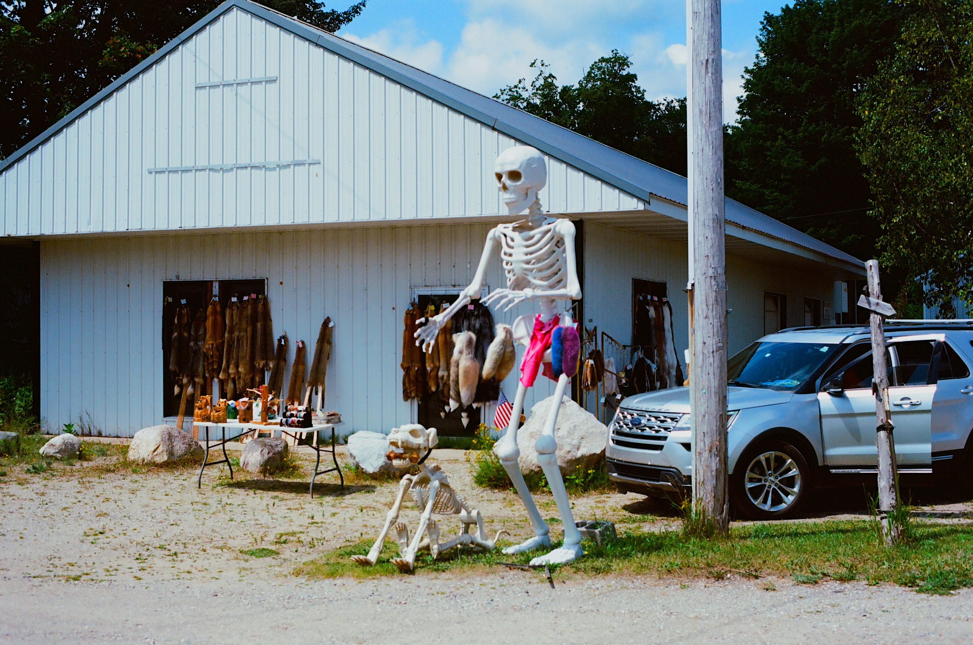
Tourism & Seasonal Economy
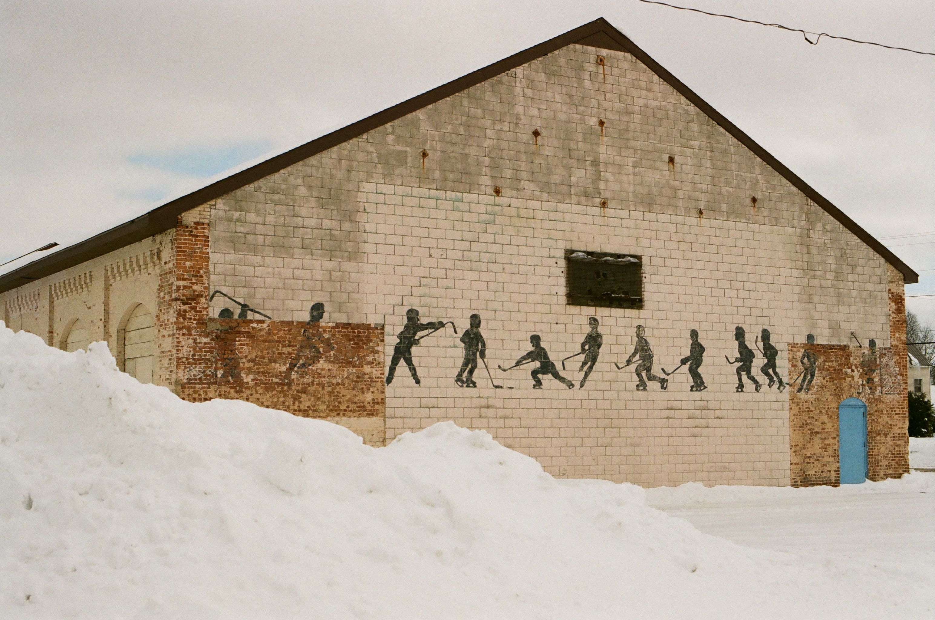
Industrial Heritage
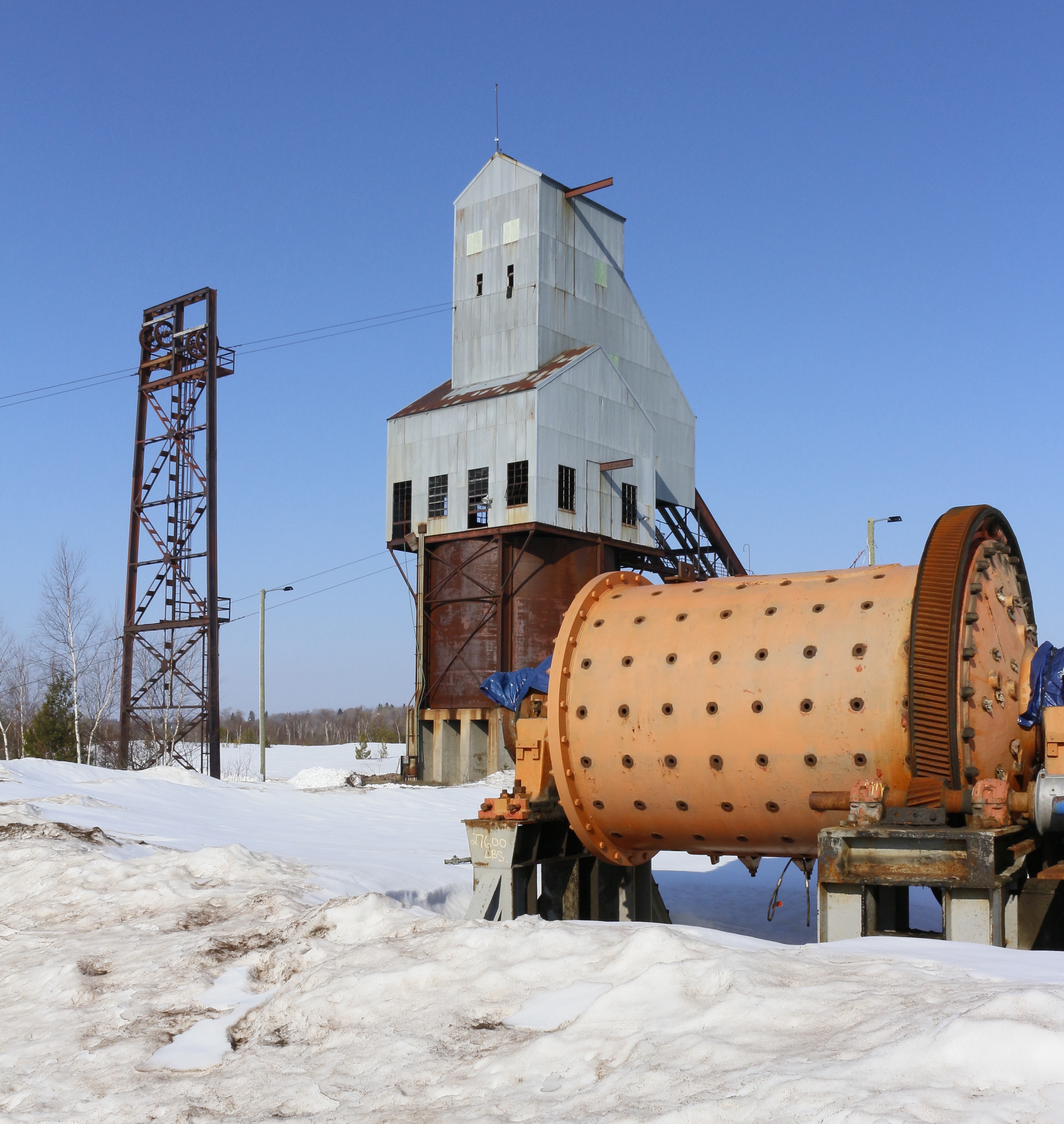
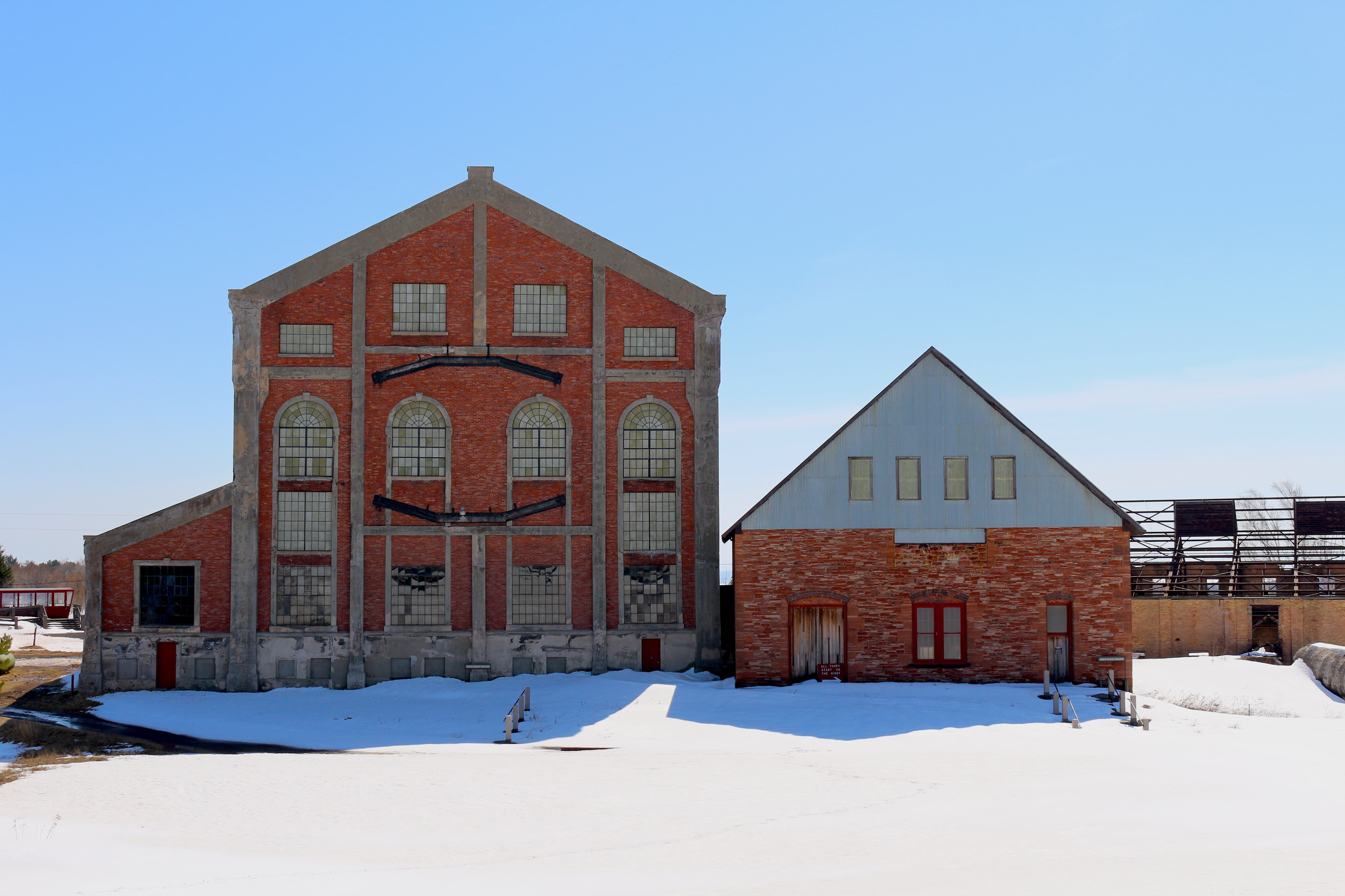
Historic copper sites like Osceola #13 generate shared understanding of extraction legacy, balancing industrial heritage preservation with environmental and safety concerns while fostering nostalgia for more prosperous times.
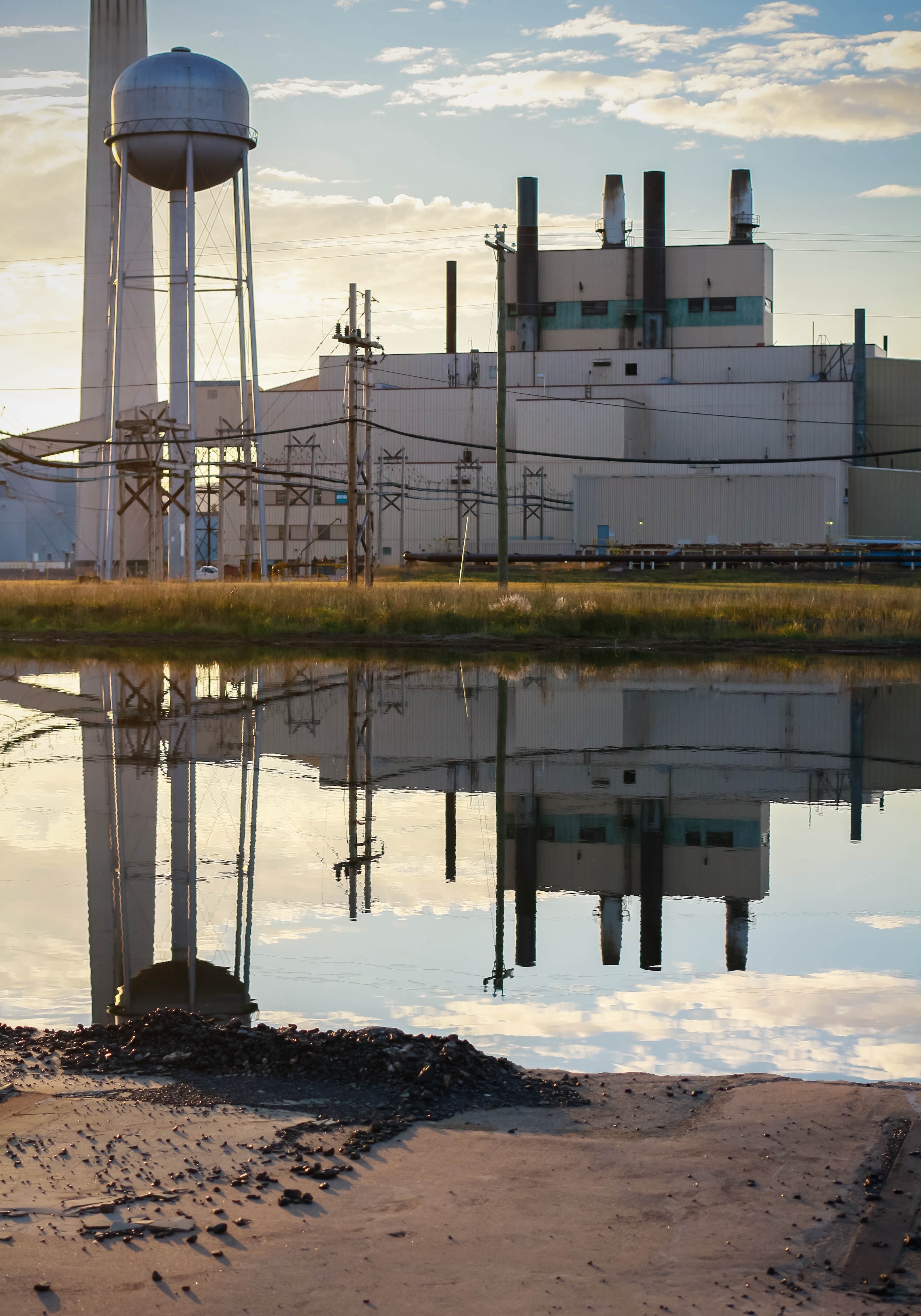
White Pine's mothballed site embodies the complex legacy of extraction—environmental costs, yet also symbolizes persistent hope that industry might return, reflecting a conflicted relationship with extractive past and economic future.

Infrastructure & Services
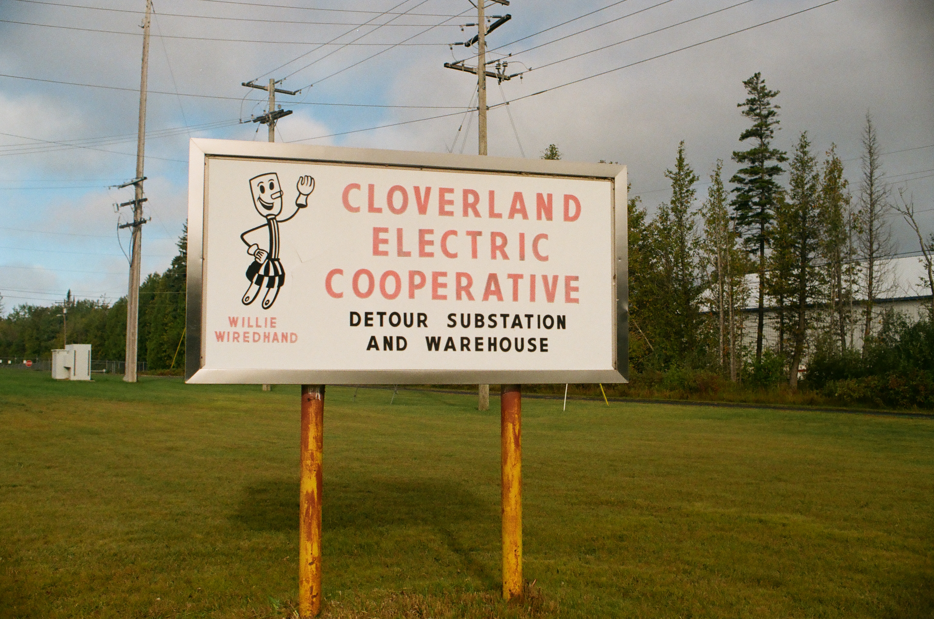
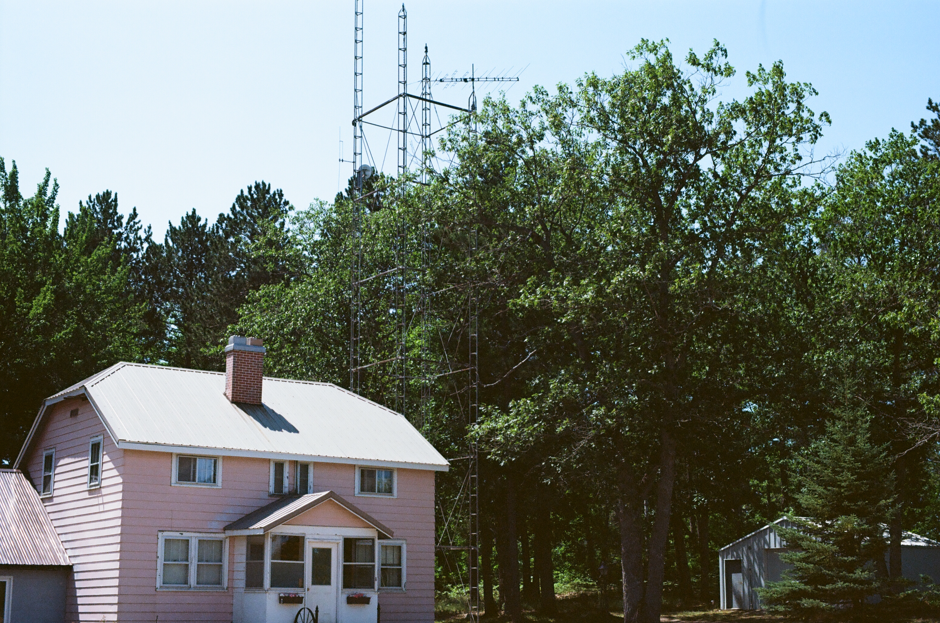
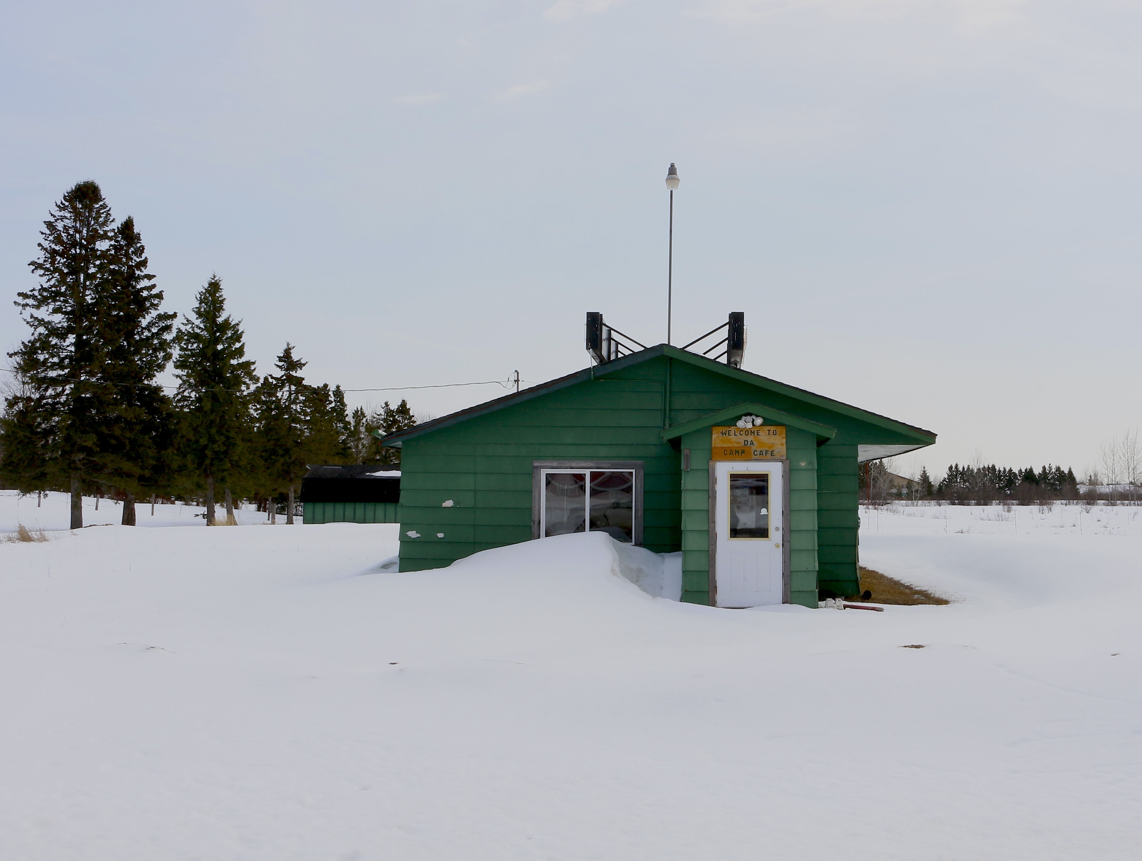
Residents often improvise with the resources available. In this photo, the homeowner has made use of older antenna infrastructure by attaching equipment for satellite internet.

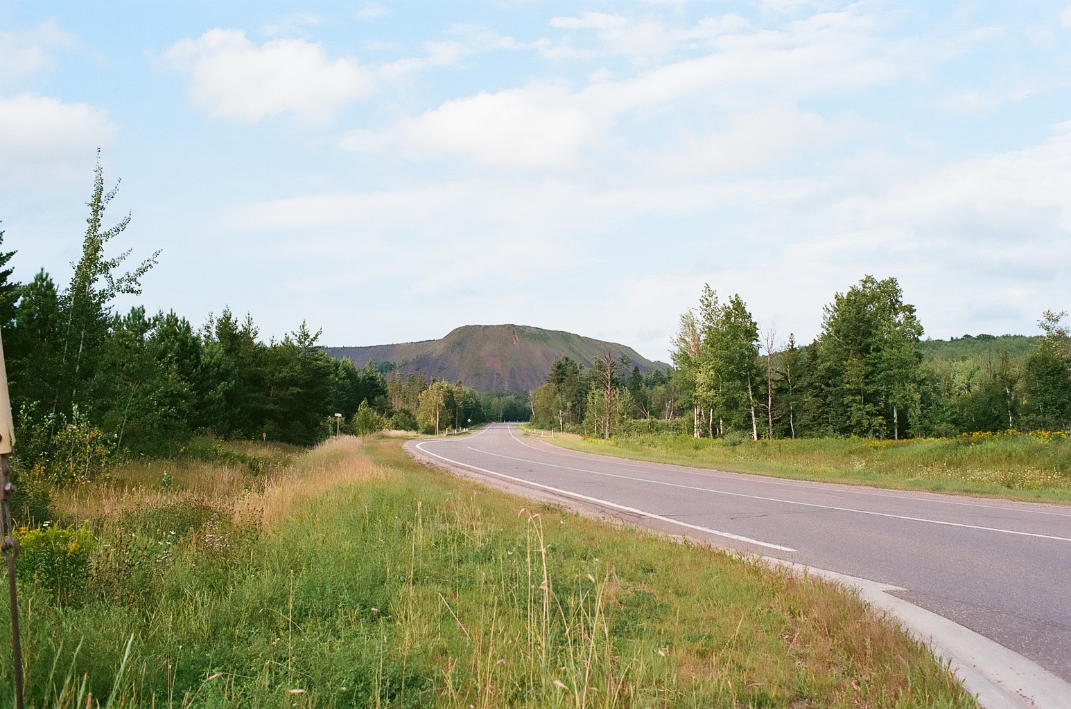
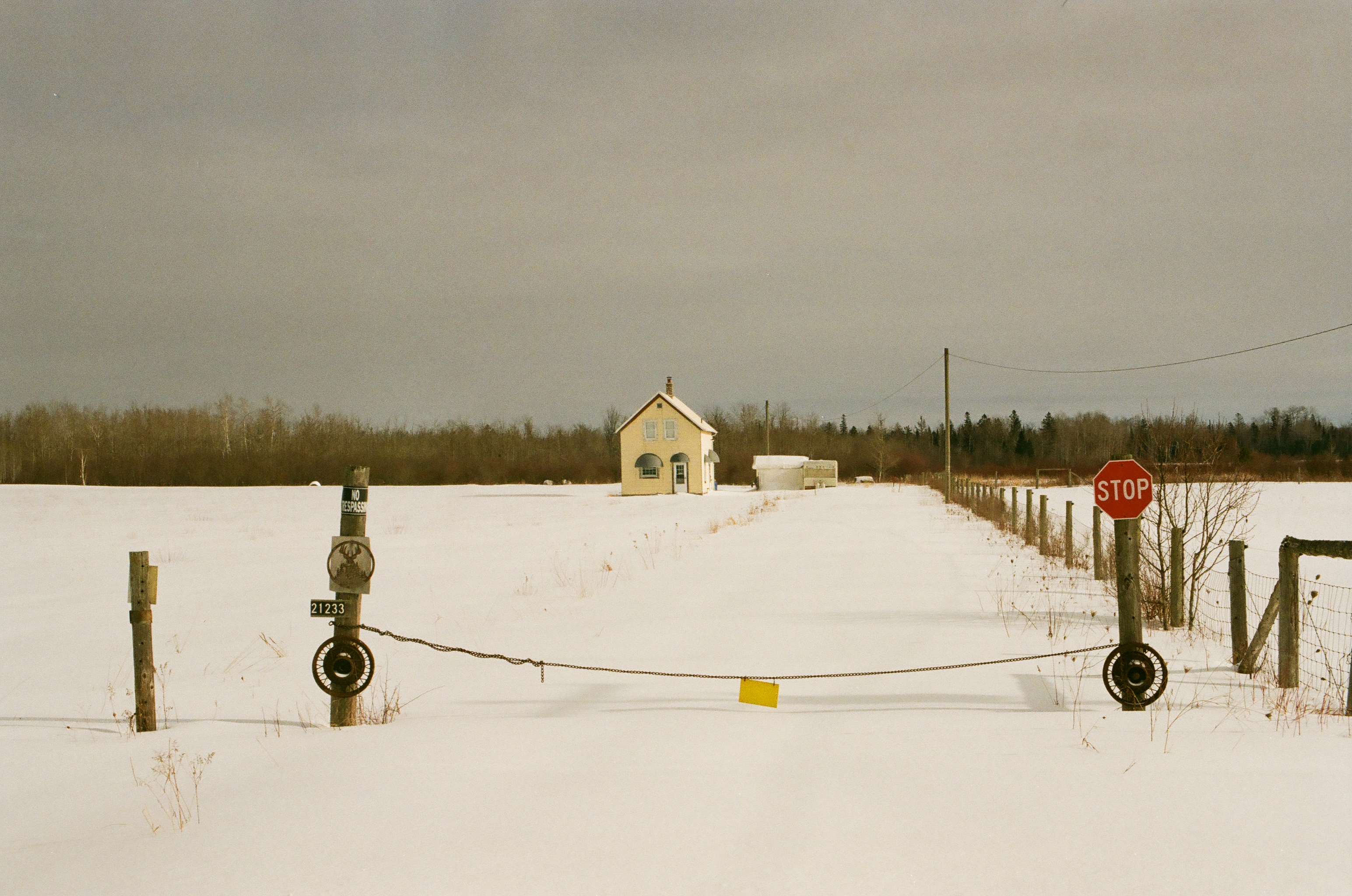
Landscape & Environment

Community & Culture

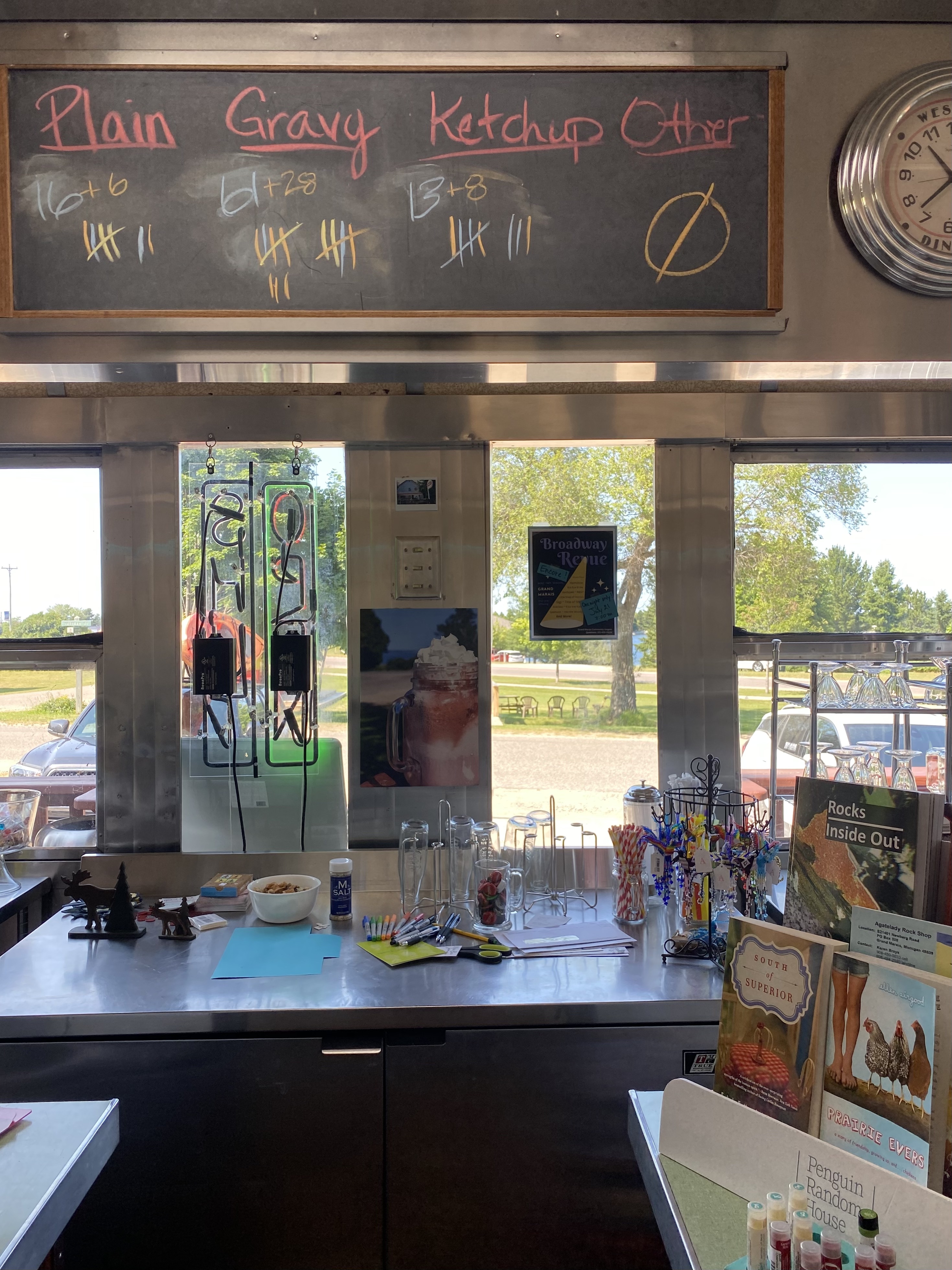
An informal poll about pasty condiments highlights how regional food preferences reflect identity. The pasty (pronounced "PASS-tee") is a traditional meat-and-vegetable hand pie introduced to the Upper Peninsula by Cornish miners. Ongoing debates about acceptable condiments—especially the inclusion of ketchup—further differentiate locals from outsiders.
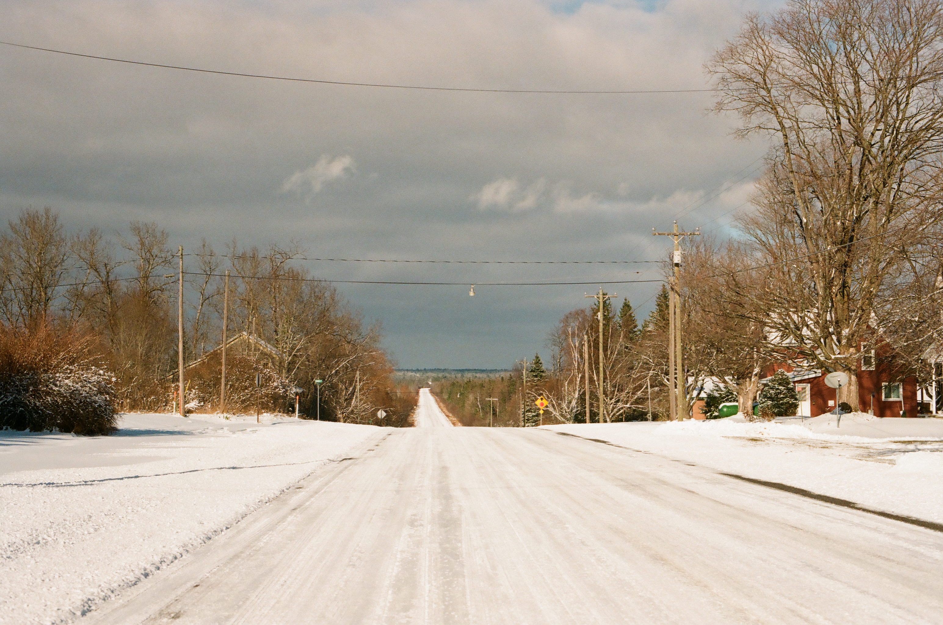
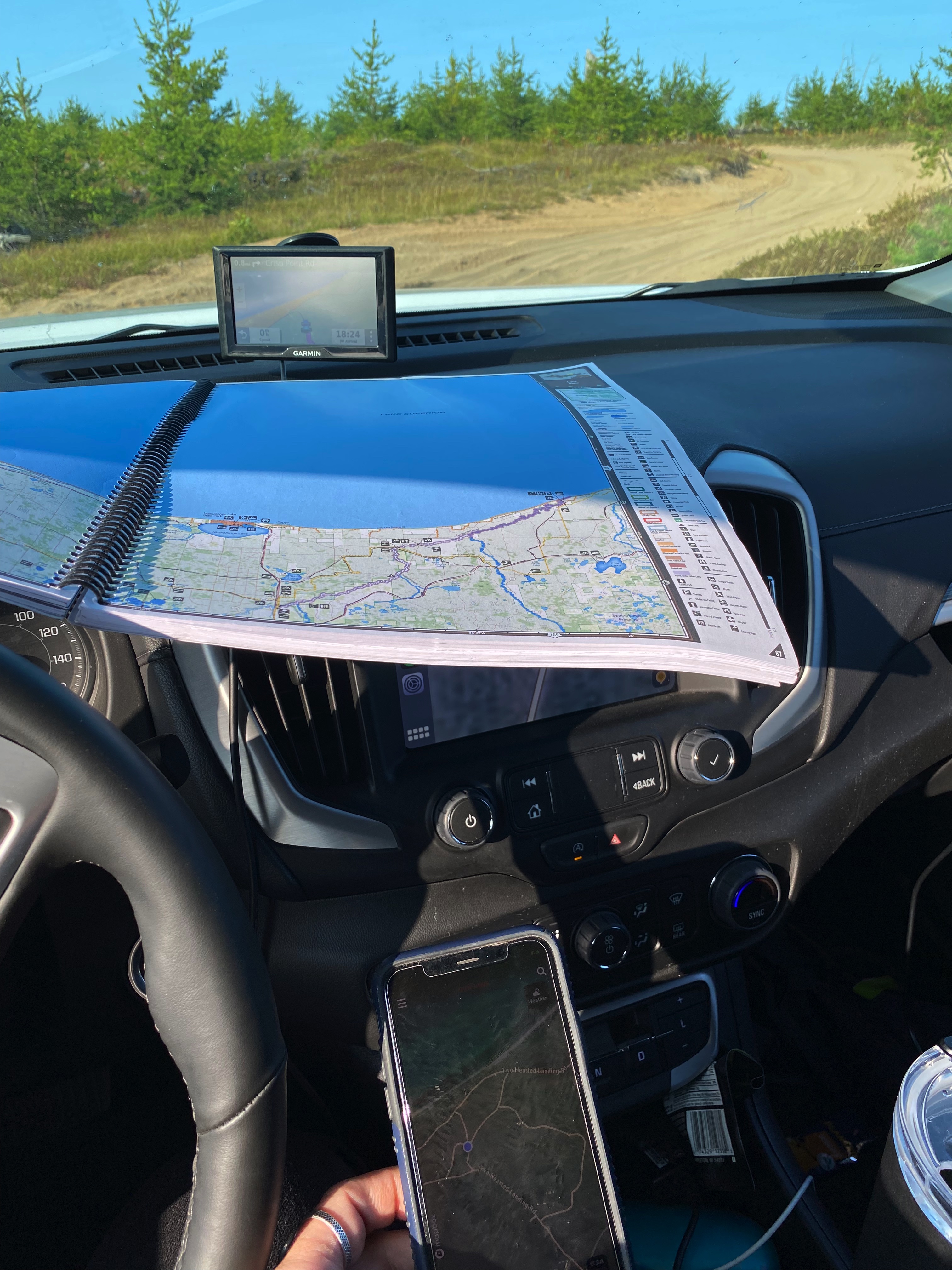
Many UP communities exist as what one resident described as "clusters of houses," creating issues when trying to plan programming between two counties. Institutional maps fail to capture lived community boundaries. Navigating this geography requires place-embedded cognitive models about where people actually gather and how they move through space, knowledge that remains largely invisible to external planning processes.
Regional Identity
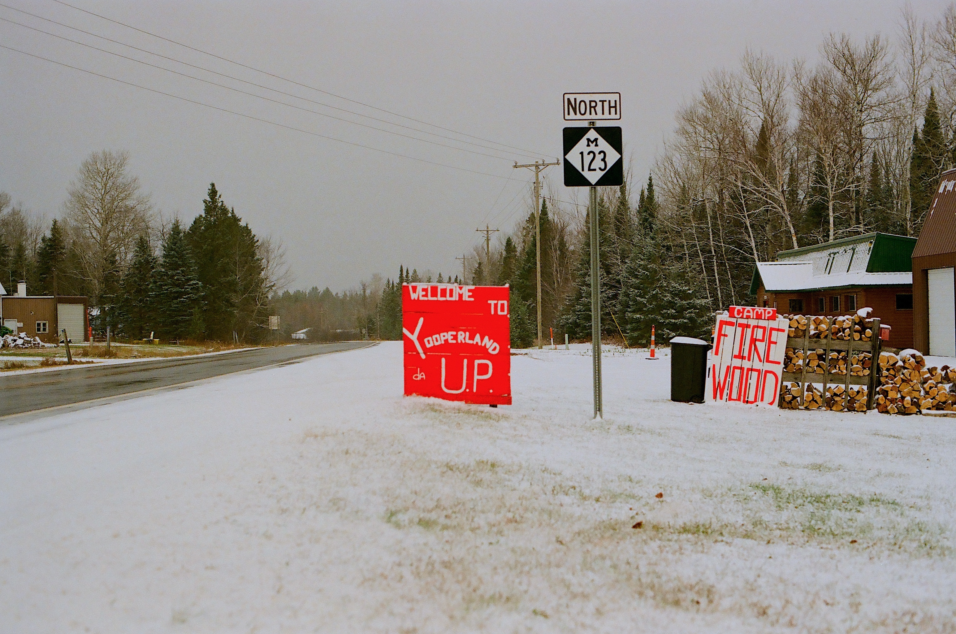
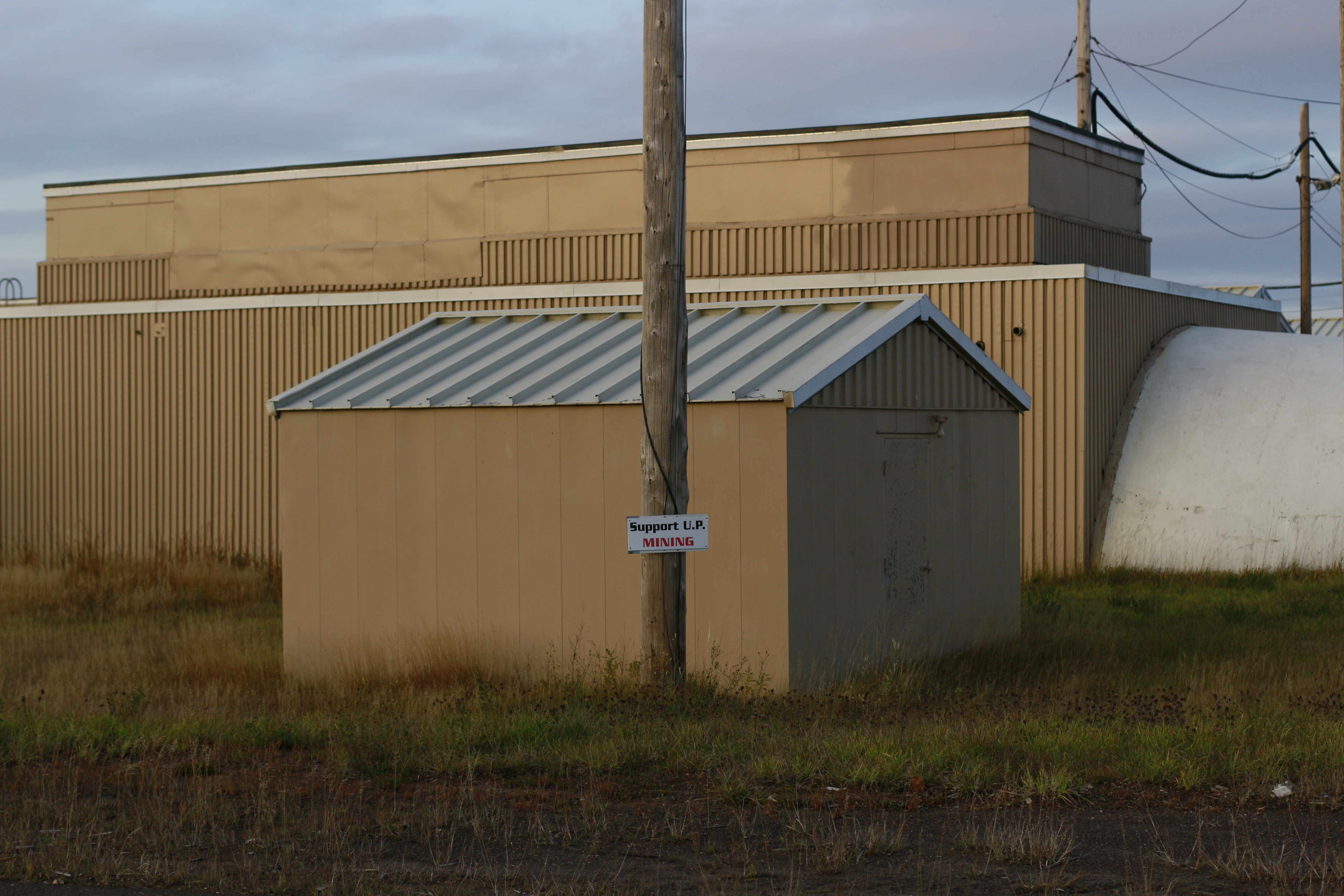
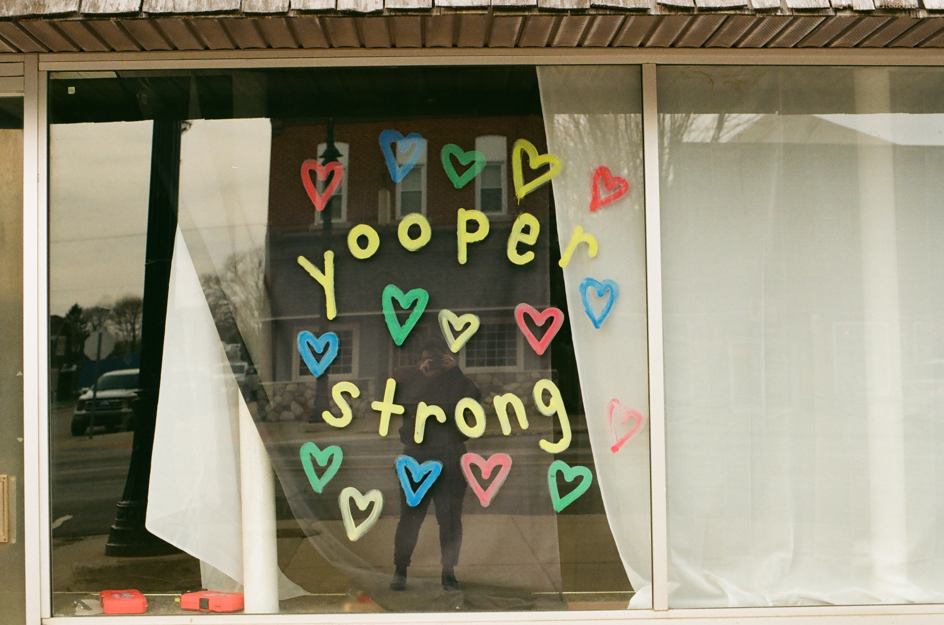
Linguistic markers like 'Da U.P.' function as identity shibboleths—pronunciation and vocabulary choices that enable community assessment of authentic regional belonging versus outsider status.
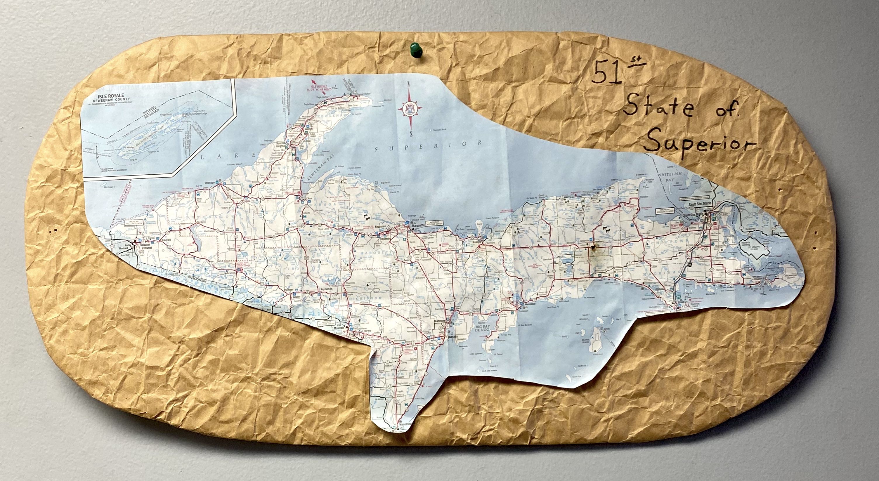
Hand-modified '51st State' map reflects constitutive norms around regional distinctiveness and historical disconnection from Lower Peninsula—shared narratives that shape community identity assessment processes.
Fieldwork Photos